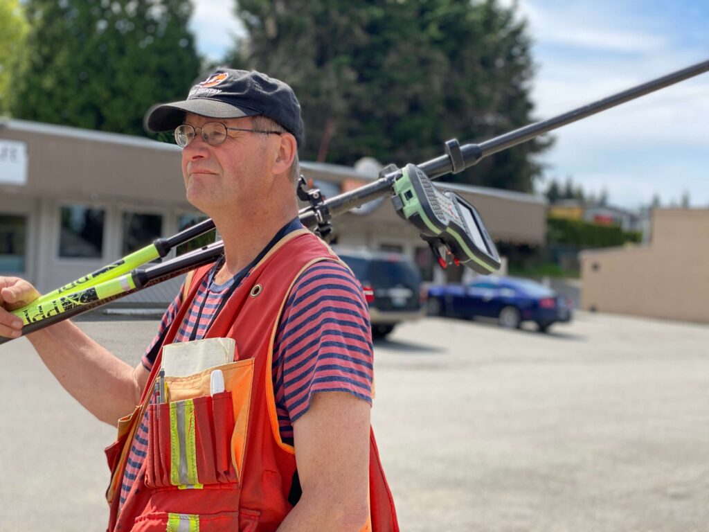
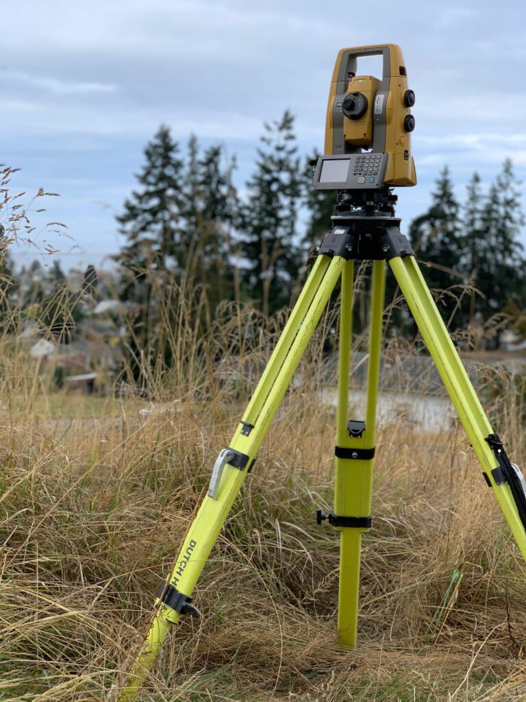
FOUNDATION OF YOUR
PROJECT PLANNING
LAND DEVELOPMENT
Building for your business or as part of a larger
construction project?
RESIDENTIAL
Working at a smaller scale on a home project or renovation? Unsure of your property's boundaries?
LAND USE
Need help distinguishing what your land
can be used for?
ACREAGE LAND SURVEYING
Founded in 1999, ALS is a local, family-run business, offering consulting services in land surveying and land development throughout the Puget Sound Region. Backed by 20+ years of experience, our team follows through from beginning to end to provide clients with quality product in a timely manner.

WHAT WE DO

TOPOGRAPHIC
Used during design through construction and detail existing site conditions, including structures, improvements, utilities, contours, and trees.

SITE PLAN
Graphic representation of the arrangement of buildings, parking, drives, landscaping, and any other structure that is part of a development project.

ALTA/ACSM
One of the most detailed surveys available prepared in accordance with set standards, showing boundaries, improvements, and the location of easements and encroachments.


BOUNDARY
Definition of the exterior boundaries and corners of a parcel and indication of easements/encroachments often to show limitations imposed by state or local regulations.

SUBDIVISION
Includes short plats, plats, binding site plans, and boundary line adjustments. Involves dividing parcels of land into smaller tracts or lots.

CONSTRUCTION STAKING
Involves the process of interpreting construction plans and marking the location of proposed new structures, foundations, utility lines, retaining walls, easements, etc.
TESTIMONIALS
OUR CLIENTS
Many of those who employ our services are repeat customers. Here are just some of the many that keep
coming back to us time and again.


